Cascade 125E, University of Oregon
Research
Here you will find current and past research project, don't hesitate to reach out if you have any interests or questions!


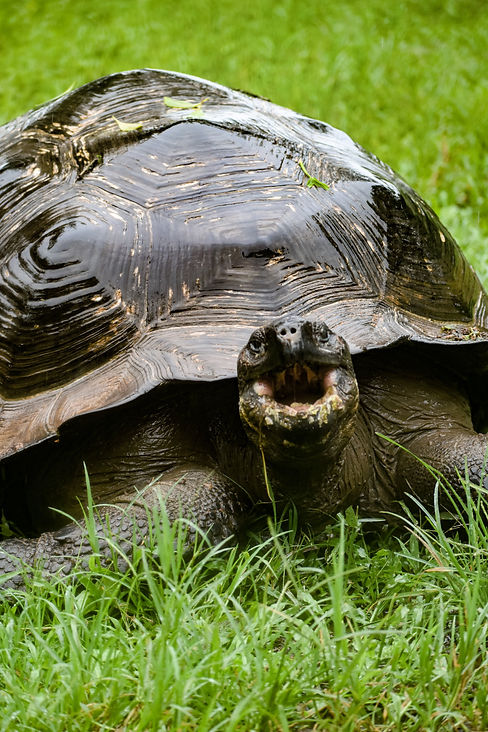
Imaging the Velocity Structure of the Galapagos Plume-Ridge Interaction
I am currently working on this project. The Galapagos Plume has complex geometry, and current geodynamic models cannot explain the distribution of plume material in the crust. An S-wave velocity model for the region has been published (Villagomez 2014), but no P-wave model exists to date. I am using teleseismic P wave delay times with the goal of creating a velocity structure of the region. Because of the olivine rich mantle, anisotropy likely effects the seismic velocities and is necessary to consider when inverting for seismic velocities. The dataset is the new (June 2024) Marine IGUANA experiment which collected more seismic data for the region in a very broad array of OBS.

Communicating Volcanic Hazard when threat of Eruption is Low
I am currently working on this project! I am conducting a literature review for communicating volcanic hazard during times of quiescence. Taking results from these different studies, I will provide recommendations for practitioners, educators, scientists, or anyone else communicating about volcanic hazards to make sure their message is understood.


Velocity structure of the Santorini-Kolumbo Volcanic System
This is a project I published in 2025! The Santorini arc volcano and nearby Kolumbo seamount already have a well know magma reservoir in the upper crust. Using local earthquake data around the volcano, I published a velocity model of the mid-crust that contains a newly resolved mid-crustal magma reservoir between the two edifices, as well as a rheologically strong seismogenic zone beneath Kolumbo. Publication can be found on the next page.
